| Page last updated
Sun 07 Sep 2025 |
The Freshwater Mussels (Unionoida) of the World (and other less consequential bivalves)
FM(U)otW(aolcb) is the web version of the MUSSEL Project Database. Follow the links to browse the data or use the custom Google search field. Either way, you win!
This page reports the specimens in the MUSSELpdb and provides a map if geocodes are known. The taxonomic history reports the record of different names and combinations that have been applied to this species (and its synonyms) since 2007. The MUSSEL Project Database has moved to a new server, with a new URL! The new address for this page is: https://musselpdb.org/db.php?ty=validsp&id=10637
Search the database pages:
|
|
Unionoidea | Unionidae | Ambleminae | Quadrulini | Quadrulina | Theliderma species Theliderma johnsoni Bogan & Lopes-Lima in Lopes-Lima & Bogan, 2019: specimens
1 nominal species
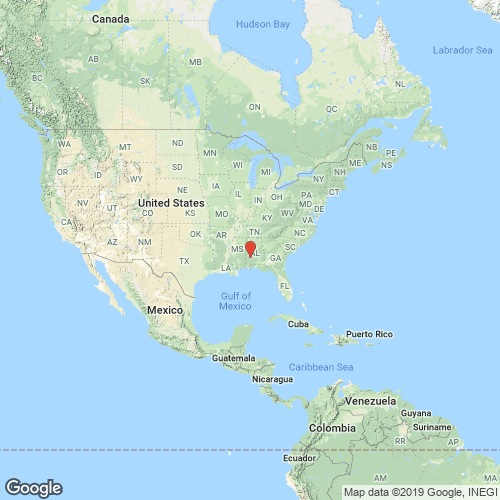
Range: Mobile Basin, Alabama. Map of Georeferenced Specimens
 |
USA |
|
NCSM_30474 Alabama River, ARM 107.5, lower end of Wilcox Bar, 40 m from left descending bank, point estimated 2.57 air miles SSE center of Yellow Bluff, [Coy Quad]. Wilcox County, Alabama, geographic coordinates (WGS84; 31.93222, -87.45389); date collected: 19 July 2000; collectors: J.T. Garner, P. Kilpatrick
|
Genbank Vouchers
NCSM_30474 (SRA)
|
Page updated: 08:29:58 Sun 07 Sep 2025 |
|